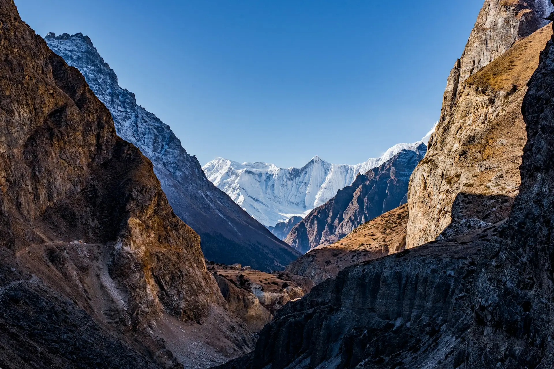
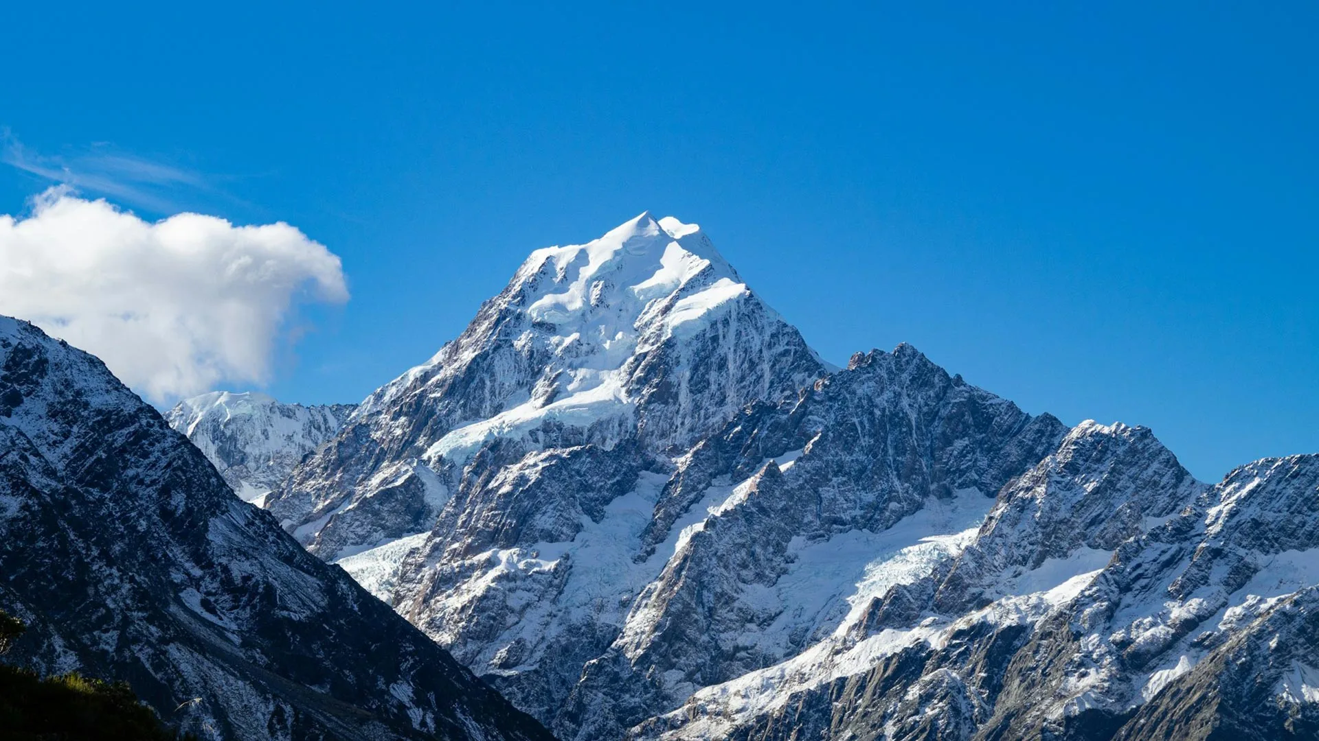
Quick answer: Mount Everest stands on the border between Nepal and the Tibet Autonomous Region of China. The summit sits exactly on the line, at 8,848.86 m. The southern side lies in Nepal’s Solukhumbu district, inside Sagarmatha National Park, and that is the side nearly all trekkers visit. The famous base camp trek, Kala Patthar, and the teahouse trails all belong to Nepal.
Half the internet asks this question, and the honest answer is: two countries share the mountain. The border between Nepal and China runs across the summit itself. So a climber standing on top has one boot in each country, at the highest point on earth.
Key Takeaways
- Everest sits on the border of Nepal and Tibet, China. The summit is on the line.
- The south side is in Nepal’s Solukhumbu district, inside Sagarmatha National Park.
- Height: 8,848.86 m (29,031.7 ft), the official figure agreed by Nepal and China.
- Nepal calls it Sagarmatha. Tibetans call it Chomolungma.
- Nearly all trekking happens on the Nepal side, reached by flying to Lukla.
- You cannot see Everest from Kathmandu’s streets. You can see it from the Khumbu, easily.
This guide answers the map questions first, then the better question: how you actually get in front of the mountain. For the full trip, see our Everest Base Camp Trek.
Which country is Mount Everest in?
Both Nepal and China, officially. The international border runs along the mountain’s summit ridge. So the southern slopes belong to Nepal, and the northern slopes belong to the Tibet Autonomous Region of China. Neither country owns the peak alone.

For travelers, though, the practical answer is Nepal. The classic trekking routes, the teahouse villages, base camp as most people know it, and the famous viewpoints all sit on Nepal’s side. Here, the mountain rises inside Sagarmatha National Park, a UNESCO World Heritage Site since 1979, in the Solukhumbu district of eastern Nepal.
Where exactly is Everest on the map?
Look for the coordinates 27.99 N, 86.93 E, on the crest of the Mahalangur range of the Himalayas. In a straight line, the summit stands about 160 km east of Kathmandu.
| Everest at a glance | |
|---|---|
| Continent | Asia |
| Countries | Nepal (south side), Tibet, China (north side) |
| Nepal district | Solukhumbu, Koshi Province |
| Mountain range | Mahalangur Himal, Himalayas |
| Coordinates | 27.99 N, 86.93 E |
| Height | 8,848.86 m (29,031.7 ft) |
| Protected area | Sagarmatha National Park (UNESCO, 1979) |
On a map of Nepal, find Kathmandu, then trace east along the northern border. The cluster of giants there is the Khumbu, and Everest is its crown.
What do Nepal and Tibet call the mountain?
Nepal calls it Sagarmatha, and Tibetans call it Chomolungma. Both names are far older than the English one. The name Everest arrived in 1865, when the peak was named after Sir George Everest, a former Surveyor General of India.
In the Khumbu itself, you will hear Sagarmatha everywhere. The national park carries the name, and so does the government body that manages the mountain. So if you want to sound like you have been there, learn the local name before you go.
Is Mount Everest a volcano, and is it still growing?
Everest is not a volcano. It was pushed up, not erupted up. The mountain formed as two of the planet’s great tectonic plates collided. Around 50 million years ago, the Indian Plate began driving north into the Eurasian Plate, and the Himalayas rose from the crumple zone between them.
Here is the fact that stops people mid-trek: the rock at the summit of Everest was once a seabed. That top layer is marine limestone, laid down underwater long before any mountain existed, then lifted more than eight kilometers into the sky. So the highest point on earth is made partly of the old ocean floor.
And the mountain is still growing. As the plates keep pressing, Everest rises roughly 4 mm a year and drifts slowly to the northeast. Big earthquakes can nudge the figure the other way. But over the long run, the highest place on earth is still, very slowly, getting higher.
What mountains surround Mount Everest?
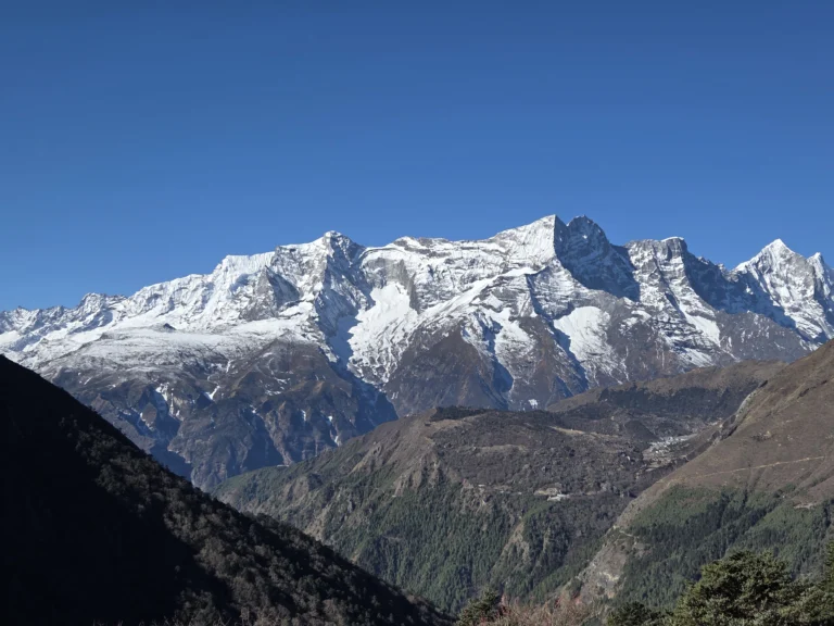
Everest does not stand alone. It sits in a crowd of giants called the Mahalangur Himal. Four of the world’s six highest peaks rise within sight of the Everest trails, which is part of why the Khumbu feels so vast.
| Neighbor | Height | Rank on earth |
|---|---|---|
| Lhotse | 8,516 m | 4th |
| Makalu | 8,463 m | 5th |
| Cho Oyu | 8,188 m | 6th |
| Nuptse | 7,861 m | (guards Everest’s south side) |
From Kala Patthar and the Gokyo trails, you see this whole wall of peaks at once. So when trekkers picture Everest, they are usually picturing the entire family around it.
Which side do trekkers and climbers use?
Nearly all trekkers use the Nepal side, and most climbers do too. The two sides offer very different journeys:
| Nepal (south) | Tibet, China (north) | |
|---|---|---|
| Access | Fly to Lukla, then walk | Drive in on paved roads |
| Trail life | Teahouse villages, Sherpa culture | Remote, few settlements |
| Base camp | 5,364 m, reached on foot | Reachable by vehicle |
| Permits | Straightforward Nepali permits | Chinese travel permits, tighter rules |
The Nepal side is the one you know from photos: Namche Bazaar, Tengboche monastery, prayer flags over the trail. It is also where Spade Himalaya runs every one of its Everest trips, with licensed local guides who grew up in these valleys.
Can you see Mount Everest from Kathmandu?
Not from the city itself. Kathmandu sits in a bowl of hills about 160 km away, and closer ranges block the view. On very clear days, hilltop viewpoints on the valley rim, like Nagarkot, show Everest as a small distant point. Honest advice: do not fly to Nepal expecting the postcard view from your hotel window.
For the real thing, you have to meet the mountain in its own neighborhood. Then the options get wonderful:
- Kala Patthar (5,545 m): the best view of Everest a trekker can earn on foot.
- Hotel Everest View (3,880 m): Everest from a breakfast terrace, on our Panorama Trek.
- Our helicopter tour: lands at Kala Patthar in a single morning from Kathmandu.
Where is Everest Base Camp?
There are actually two base camps, one in each country. When trekkers say Everest Base Camp, they mean the southern one: 5,364 m, in Nepal, at the foot of the Khumbu Icefall. That is the goal of the classic 14 day trek, about 65 km of walking from Lukla. Before you go, it is worth knowing Everest Base Camp temperatures month by month.
The northern base camp sits in Tibet and can be reached by vehicle, which makes it a different kind of visit entirely. In short, if your dream involves boots, teahouses, and earning the view, your base camp is the Nepali one. Our Everest region guide covers every route that leads there.
FAQs
In which country is Mount Everest located?
Both Nepal and China. The border runs across the summit, so the south side is Nepali and the north side is Tibetan. Travelers almost always experience the mountain from Nepal.
Is Mount Everest in India?
No. This is a common mix-up because the peak was named through the Survey of India in 1865. The mountain itself stands on the Nepal and Tibet border, and no part of it touches India.
How high is Mount Everest?
8,848.86 m, or 29,031.7 ft. Nepal and China agreed on this official figure jointly, and it includes the snow cap.
How far is Everest from Kathmandu?
About 160 km in a straight line. In practice you fly about half an hour to Lukla, then walk roughly 65 km through the Khumbu to reach base camp. Our distance guide breaks the walk into daily stages.
Can beginners visit Mount Everest?
Yes, with the right trip. Fit first timers manage the classic base camp trek with good acclimatization. For an easier look, the 10 day Panorama Trek stays lower, and the helicopter tour needs no walking at all.
What are Everest's coordinates?
27.99 N, 86.93 E, on the crest of the Mahalangur range in the Himalayas.
Is Mount Everest a volcano?
No. Everest is not volcanic. It rose from the collision of the Indian and Eurasian tectonic plates, and its summit rock is marine limestone that was once a seabed.
Is Mount Everest still growing?
Yes. The same plate collision that built it still pushes it up, so Everest gains roughly 4 mm a year and shifts slowly northeast. Major earthquakes can change the figure.
How was Mount Everest formed?
By tectonic collision. About 50 million years ago the Indian Plate began driving into the Eurasian Plate, and the Himalayas, Everest included, were forced upward from the seabed between them.
When was Mount Everest first climbed?
On 29 May 1953. Edmund Hillary of New Zealand and Tenzing Norgay, a Nepali Sherpa, made the first confirmed ascent from the Nepal side. Their route over the South Col is still the most popular climbing line today.
What mountains are near Everest?
Everest shares the Mahalangur range with Lhotse (8,516 m), Makalu (8,463 m), and Cho Oyu (8,188 m), three of the six highest peaks on earth, plus Nuptse, which walls off Everest’s southern face.
Accuracy note: geography and naming from the public record, including UNESCO’s Sagarmatha National Park listing (retrieved 2026-07-04); the official 8,848.86 m height is the joint Nepal-China figure used across our itineraries; route details reviewed by Yubaraj Katel, government-licensed trekking guide (Licence No. 19827) with 10 years of experience leading treks in the Everest region.

Ready to See Everest for Yourself?
Updated: 6 Jul, 2026
9 min
Everest Base Camp Trek Cost in 2026: Full Breakdown
Quick answer: A guided Everest Base Camp Trek’s biggest single cost is the round-trip Lukla flight,...
Updated: 8 Oct, 2026
10 min
Everest Helicopter Tour: Is It Worth It? Cost, Safety and the Reality
Is the Everest helicopter tour worth it? An honest look at the cost, the safety, why...
Updated: 20 Jul, 2026
15 min
Everest Region Treks: Routes, Cost & Best Time (2026 Guide)
Quick answer: The Everest region, or Khumbu, is home to Everest Base Camp, the Gokyo Lakes,...